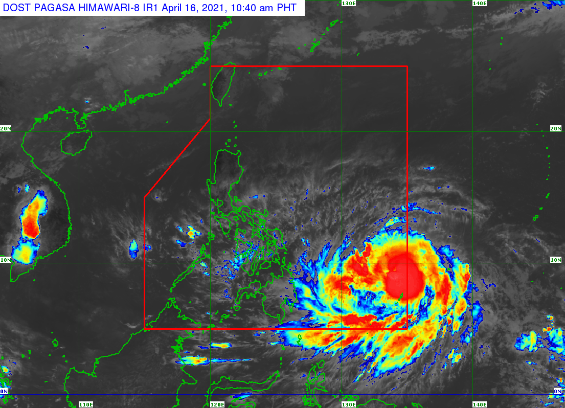
Weather disturbance “Bising” entered the Philippine Area of Responsibility (PAR) and intensified into a typhoon on Friday morning, the Philippine Atmospheric, Geophysical and Astronomical Services Administration (PAGASA) said.
In its 11 a.m. bulletin, PAGASA said that the eye of Bising was located 960 km east of Surigao City, Surigao del Norte at 10 a.m.
It was packing maximum sustained winds of 130 kph near the center and gustiness of up to 160 kph.
However, the cyclone which was moving northwestward at 15 kph was not expected to hit Bohol or make landfall in any part of the country based on PAGASA’s forecast track.
“On the forecast track, Typhoon “BISING” will move generally west-northwestward until Monday. Afterwards, it is forecast to turn northeastward. “BISING” is less likely to make landfall in any part of the country,” PAGASA said.
So far, no tropical cyclone wind signal has been hoisted in any part of the country.